Passes over Italy
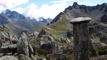
Col des Thures (2797 m) to Abriès
The Col des Thures was one of the routes taken by the Protestants of Abriès who, when the Edict of Nantes was revoked in 1685, chose to go into exile out of loyalty to their faith. One of them, in Wurmberg, Germany, carved an inscription on his fireplace that can still be read today: "Col des Thures".
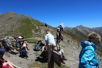
Col St Martin (2657 m) to Abriès
It was via the Col Saint-Martin and its neighbor, the Col des Thures, that the Protestants of Molines escaped after Louis XIV revoked the Edict of Nantes in 1685. It can be reached from Roux d'Abriès (1735 m) via the Montette valley, which runs off to the east.
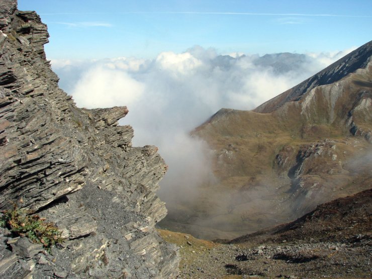
Col du Bouchet (2626 m) to Abriès
The Col du Bouchet is underlain by lustrous schists, which can be seen on its southern slope. On the Bric Bouchet side, these schists are surmounted by older limestones, normally located below. Tectonics, by straightening shales and limestones vertically, and erosion have reversed the layering of the geological layers.
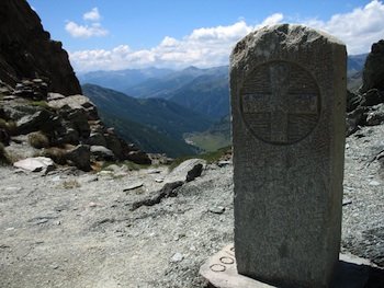
Col de Malaure (2536 m) at Abriès
The Col de Malaure, if its name is anything to go by, is the "bad wind" pass. Like its Abriès neighbors, the Col du Bouchet and the Col de Valpreyvere, it is often invaded by "nebbia", the clouds that rise from the Po plain and stop at the border with Italy. It was proposed for Hannibal's crossing of the Alps, replacing the Col de la Traversette at Ristolas, which was considered too high.
Col Lacroix (2299 m) to Ristolas
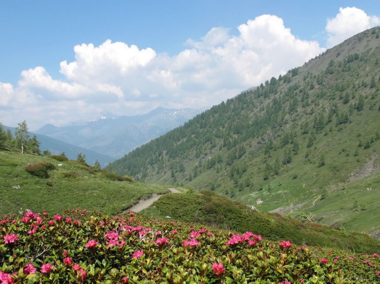
The Col Lacroix links the Guil valley at Echalp de Ristolas with the Val Pellice in Italy. The sides of the valley leading to it are carpeted with rhododendrons. The relatively low Col Lacroix has always been an important trade route between the Queyras and the Vaud valleys of Piedmont. But merchants weren't the only ones to use it: so did soldiers, cattle rustlers and partisans looking for a helping hand. You can still see the remains of the Napoleon refuge built at the end of the 19th century and destroyed during the last war.
Col de la Traversette (2947 m) at Ristolas
The Col de la Traversette at Ristolas owes its fame to the tunnel built in the 15th century, under Louis XI, at elevation 2900 to secure the salt route between the Etang de Berre and Italy. The tunnel was used to avoid the lands of the Count of Savoy, who controlled the Mont Cenis pass.
It's worth noting that this pass was proposed as a route for Hannibal and his elephants to cross the Alps.
Col Agnel (2744 m) in Molines
The Col Agnel at Molines connects the Queyras and the Val Varaita in Italy. It is flanked by the Pain de Sucre (3208 m) and the Punta dell'Alp (3033 m). It is France's second-highest road pass, after the Col de l'Iseran. The road over it was built in 1970. The Napoleon refuge, built in the 19th century to accommodate travellers, was swept away by an avalanche. The Tour de France crossed the Col Agnel from Italy for the first time in 2008.
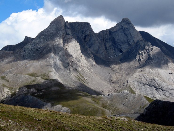
Col de Saint-Véran (2844 m) to Saint-Véran
The Col de Saint-Véran, also known as the Col de la Cavale, links the Vallée de l'Aigue Blanche with the Val Varaita in Italy. It offers a lovely view of the Italian side on days when there's no nebbia, the clouds that rise from the Po valley and stop at the border. From the pass you can reach the summit of Pic de Caramantran (3025 m)
Col de Longet (2650 m) at Saint-Véran
The Col de Longet at Saint-Véran is the last pass to the south between the Queyras and Italy.
