Passes on the Ubaye
Col de la Noire (2955 m) at Saint-Véran
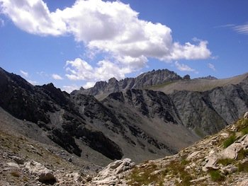
The Col de la Noire, between Saint-Véran (Queyras) and Ubaye (Alpes de Haute Provence), is the easternmost pass. It provides access from Saint-Véran to Lac de la Noire (2887 m). The alternation of green and red rocks is truly breathtaking.
Col des Ugousses (2988 m) to Ceillac
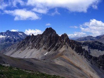
The Col des Ugousses between Péouvou and Roche Noire is one of many passes between the Cristillan valley and Ubaye (Alpes de Haute Provence). It is reached from Ceillac via the Clausis valley. At Lac de Clausis, take the fork to the left.

Col Albert (2844 m) to Ceillac

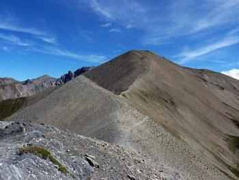
Col Albert, one of the many passes between Queyras and Ubaye in the Alpes de Haute Provence, lies between Tête du Rissace (or Longet) (2969 m) and Rocher de l'Essassa . It can be reached from Ceillac by climbing up the Albert valley.
Col Girardin (2699 m) to Ceillac
Of all the passes leading from Queyras into Ubaye (Alpes de Haute Provence), the Col Girardin is the lowest and easiest to cross. In fact, this is the pass used by the GR 5 from Mercantour to Briançon. The view of the Ubaye from the col, or from the nearby Tête Giradin, is breathtaking.

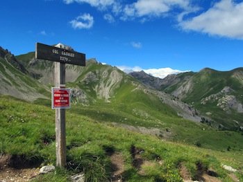
Col Garnier (2279 m) to Arvieux
The Col Garnier is the gateway from Queyras to Guillestrois in the Hautes Alpes. Thanks to its moderate altitude and easy access from Arvieux, it was used extensively at a time when passage through the Combe and Gorges du Guil was tricky (landslides, bridges washed away by floods, etc.)
