
Arvieux Mountains
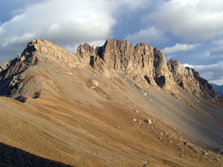
Croseras ridge (2622 m)
The jagged Croseras ridge dominates Villargaudin and the Combe du Guil with its imposing mass. The contrast with the gentler slopes of the Furfande chalets is striking. The elders of Arvieux refer to it as the "rocher de maranetch" (bad night), not knowing how the name Croseras came to appear on maps.
Pic du Gazon (2744 m)
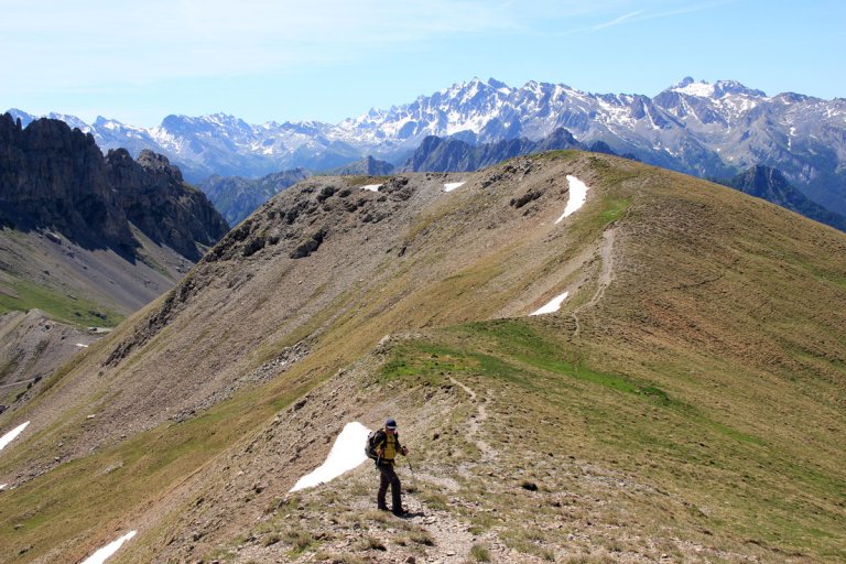
Pic du Gazon is easily accessible from the Furfande chalets or from the Col de Furfande (2503 m). It offers a lovely view of the Oisans region in the Hautes Alpes and the Crête de Croseras.
Clot la Cîme (2732 m)
Clot la Cîme is the mountain overlooking the Col d'Izoard to the north. In dialect, a "clot", a term often used in the toponym, is a flat area. At the summit of Clot la Cîme, you can see traces of a military occupation and perhaps of an optical post that communicated with the Chambrettes post at Col Fromage (Ceillac).
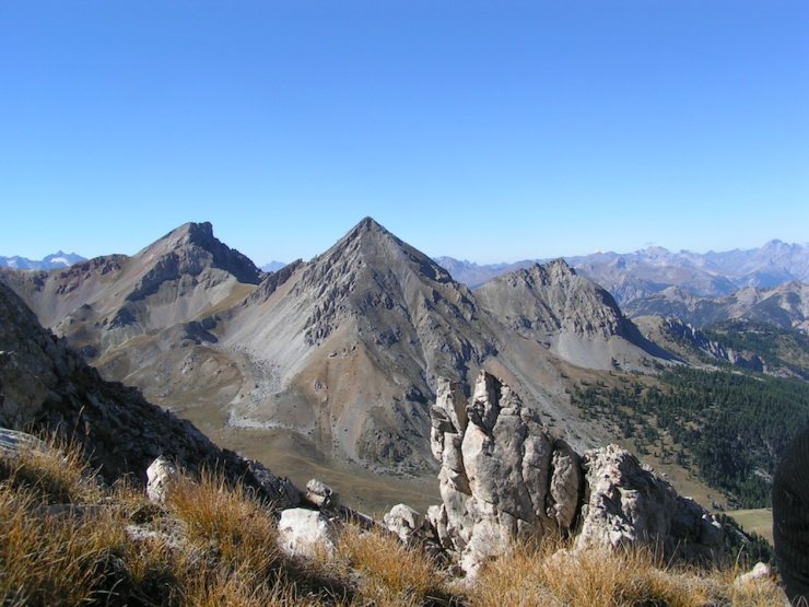
Côte Belle (2854 m)
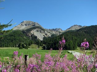
Côte Belle, or Coste Belle, is the mountain in Arvieux which, south of the Col d'Izoard, overlooks Lac de Souliers. After lunch by the lake, the climb is a must. The path is steep, but on a clear day, the view from the summit stretches as far as the Barre des Ecrins in the Hautes Alpes and Mont Blanc. And from up there, the Col d'Izoard looks so small, with its miniature cars and ant-like pedestrians!
Oules ridge (2800 m)
The Oules ridge, between Côte Belle and Col des Portes, is made up of dolomitic limestone resting on lustrous shale. It towers above Lac de Souliers (2292 m) and Col Tronchet (2347 m).
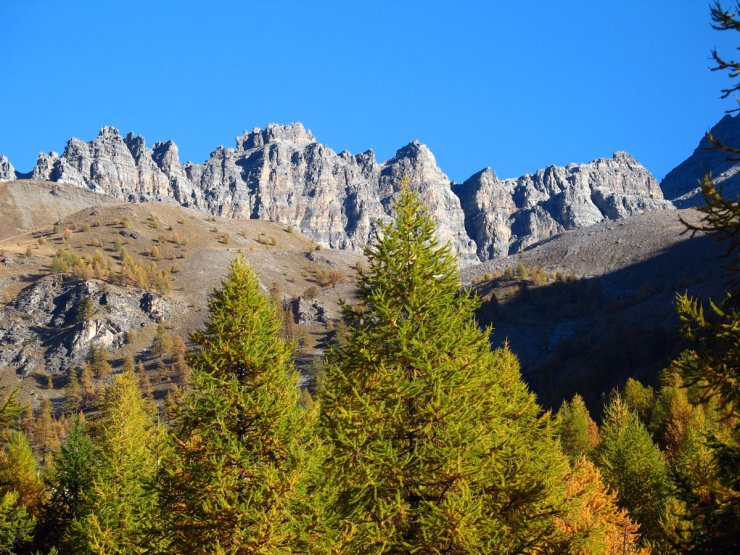
Rochebrune peak (3320 m)
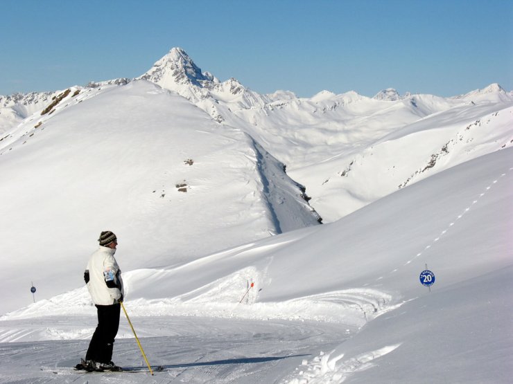
The dolomitic Rochebrune peak at Arvieux is the second highest point in the Queyras region after Font Sancte (3385 m), with Mont Viso (3841 m) in Italy. Its ascent from the Col d'Izoard is possible but not easy, and requires a good level of mountaineering experience.