Abriès
Abriès and its name
Abriès may owe its name to the expression "near the brics" (mountains, peaks).
It lies at the foot of Bric Froid and Bric Bouchet... The name may have evolved into Abrii, Abrici and Abriès. The origin may also be Provençal: "abria": to shelter. But others consider that Abriès derives from the Latin aper meaning boar, probably a man's name, with the suffix -arium indicating property.
A market town
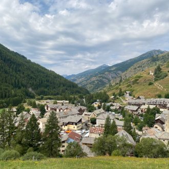
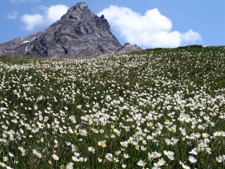
At the crossroads of the Haut Guil and Bouchet valleys, not far from Piedmont (see Queyras panorama), Abriès has long been the commercial center of Queyras, with a market established by the Dauphin of Vienne in 1259. A partially destroyed sheep market now houses the town hall and post office.
With the opening of the Guil road in 1855, Abriès lost this privileged position, but attracted a large number of French and foreign holidaymakers who came to enjoy mountain tourism, particularly mountaineering.
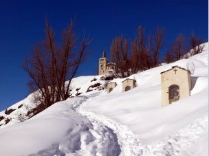
Today, Abriès is one of the Queyras' village resorts. In winter, the resort offers downhill and cross-country skiing (see ski area map), as well as snowshoeing.
The hamlets
In the 19th century, when the population of Abriès was significantly higher (1800 inhabitants in 1830 vs. 430 today), numerous hamlets were scattered throughout the commune: Le Roux, Valpréveyre, Le Villard, Les Bertins, Le Tirail, Le Cros, La Montette, Malrif, Pré Roubaud, etc. Many of these hamlets have since disappeared.
Many of these hamlets have now completely disappeared. Only Le Roux is permanently inhabited, while Valpréveyre sees some of its houses open in summer.
The House of Costume
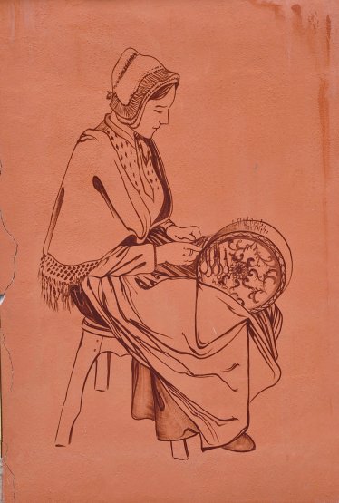
At the Maison du costume, just a stone's throw from the church of Saint Pierre, you'll be able to see the clothes worn by Queyrassins in bygone days.
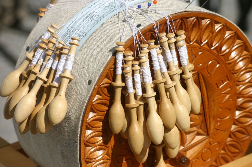
You can also try your hand at lacemaking.
An ancient Protestant land
In the 16th century, the Wars of Religion pitted Catholics against Protestants. Following the capture of Fort Queyras by Lesdiguières in 1587, the entire Queyras region, and Abriès in particular, turned to Protestantism. It is estimated that in 1685, when the Edict of Nantes was revoked, 60-80% of the population of Abriès was Protestant.
Some of them, under the pressure of the Dragonades, converted to Catholicism, at least in facade, while waiting for better days. Others, around 30% of the Abriès population, preferred to abandon all their possessions and leave their homes at night to cross the nearby border via the Col des Thures or Col Saint-Martin. They crossed into Switzerland and took refuge in Germany, as in Wurmberg in Baden-Württemberg or Carlsdorf in Hesse, where their descendants piously preserve the memory of these ancestors who came from distant mountains.
Saint-Pierre church
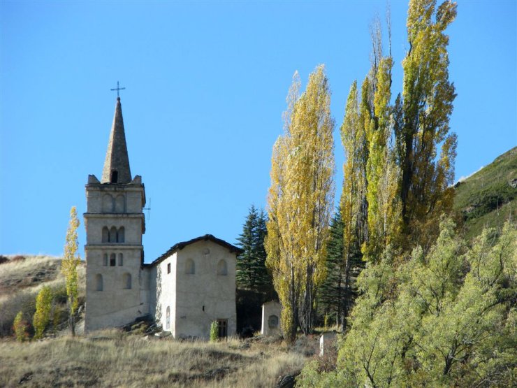
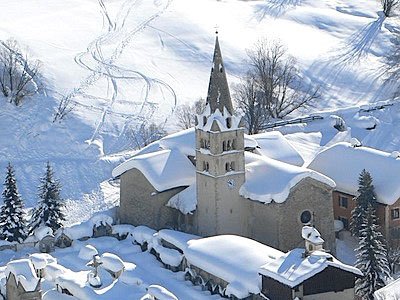
Located at the top of the village, Abriès' Saint-Pierre church was rebuilt in the 16th century. Its altarpiece and painted decoration date from the 19th century.
Two stone lions support the porch columns.
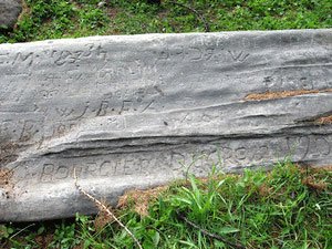
Written stones
Abriès stands out from the other villages of the Queyras by its many stones, which can be seen while strolling through the streets.
One of them is addressed to the Bouchet, the terrible torrent responsible for devastating floods, particularly in the 18th century:
"Bovchet - Si mon pied ne s'ébranle pas - ma tête ne te craint pas - j'ai qatre toises sovs moy - je me mocqve de toy".
Downhill and cross-country skiing
Abriès en Queyras offers its visitors downhill and cross-country skiing in winter.
See map of ski areas
Hiking around Abriès
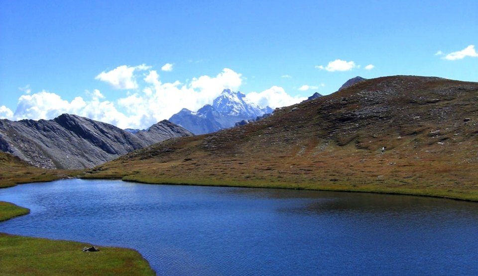
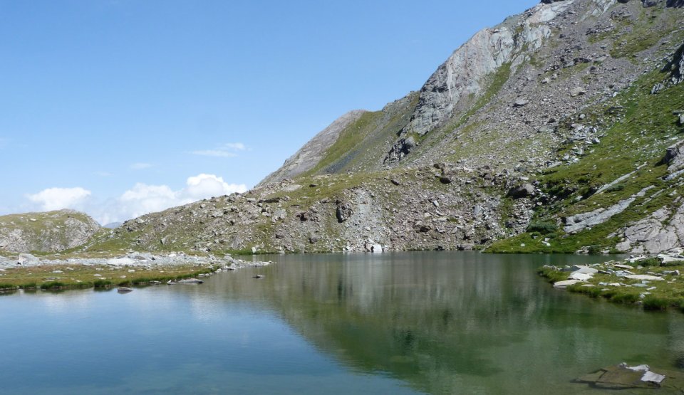
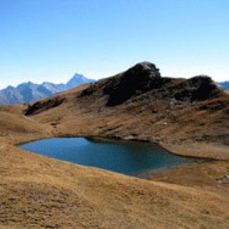
From Abriès, you can hike to the Bric Bouchet (2298 m), the Col Saint Martin (2657 m) or the Malrif lakes (between 2583 and 2805 m), the Lac de Chalantiès (2569 m) or one of the many passes leading to Italy, such as the Col de Malaure (2536 m) or the Col du Bouchet (2626 m).
And Ristolas is just a stone's throw away, from where you can climb to the Col Lacroix (2299 m) or picnic by mountain lakes such as Lac de Segure (2383 m) or Lac Baricle (2415 m) or, for the brave, climb the Pic Foréant (3081 m).
